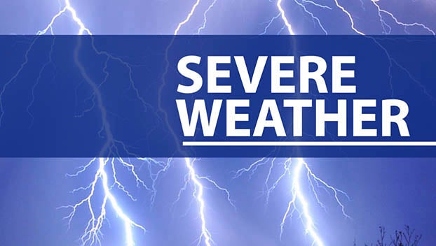
Severe weather hits Jessamine County hard
Published 4:57 pm Monday, June 26, 2023
|
Getting your Trinity Audio player ready...
|
Jessamine County was hit hard by Sunday night’s severe weather.
Several reports of fallen trees and debris were attributed to the storms which led to damaged power lines all over the county.
Director Johnny Adams of Jessamine County’s Emergency Management Agency said Wilmore and southeast Jessamine County were hit the hardest.
Adams and his team had been monitoring the situation since early Sunday morning.
“We were watching the storms approach. My weather team was watching, and I was out in the storms monitoring the situation as it developed. The first round of storms that came through Jessamine County did not produce any damage. We barely got rain and a little bit of wind. There was some thunder and lightning, but that’s about it. The second round intensified and wreaked havoc over the south-central, southeastern portions of the County, with a lot of damage in the Wilmore area and the Orchard subdivision. We had outages on the south side of Nicholasville as well,” Adams said.
Crews from each city, the county’s streets and roads department, the state’s streets and roads department, emergency management, the fire departments and law enforcement have been working since Monday to bring power back to residents and clean up roads.
Residents in and around downtown Wilmore lost power due to damaged power lines all over Main Street. Asbury University and Seminary also had tree damage on its properties and have had its maintenance crews handling the damage.
If any residents need to report damage, they can call the Emergency Management Agency Office at 859-887-2922 or fill out this form: https://forms.office.com/pages/responsepage.aspx?id=DQSIkWdsW0yxEjajBLZtrQAAAAAAAAAAAAN__r6qmrpUM0xRMlRTRFVINVVQWDhZVzRWNE9USTlQVC4u&fbclid=IwAR18gaCNm9MWXFAHPgtJuOUs4UE4AY38T3Lo2VvpuFqV0u6iz06fc3S5-gs&mibextid=Zxz2cZ
About the storm system
According to the Louisville National Weather Service Office, Sunday’s storms were caused by high instability, wind shear and supercells.
High instability is typical for the summer months and a driving force for thunderstorms, but wind shear, or the rate at which wind velocity changes from point to point in a given direction, is more typical for fall and spring months.
The wind shear from last night created favorable conditions for tornadoes and supercells. Although these are the least common type of thunderstorms, supercells have a high possibility of developing into severe weather. Central Kentucky and Indiana have the supercells to thank for tornados and large hail. One report found a three-inch piece of hail, considered abnormal for this area of the country.
The National Weather Service is still surveying for damages across the region but has not received any reports of tornadoes in Jessamine County.